Lower Escalante River 
Distance: 4.0 - 14.0 miles (round trip)
Grand Staircase-Escalante National Monument, near Escalante in South Central Utah

Close up of the natural bridge
A scenic canyon with an interesting natural bridge, an arch, rock art and a small ruin make for a nice day hike in the Grand Staircase-Escalante National Monument.
See Trail Detail/Full Description
- Distance: 4.0 miles (round trip) to Arch
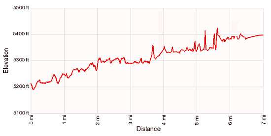
- Elevation: 5,190-ft. at Trailhead
5,295-ft. at Arch - Elevation Gain: 105-ft. to Arch
- Difficulty: moderate
- More Hikes in:
Escalante / South Central Utah
Why Hike Lower Escalante River
This short hike up the Escalante River visits the amazing Escalante Natural Bridge, offers great views of a jug handle arch high along the canyon’s south wall and passes by rock art and a small ruin in the vicinity of the arch. Most people turn around at the arch.
Beyond the arch the trail continues up the canyon, along the way enjoying fine views of the canyon sheer sandstone walls streaked with desert varnish. Not far beyond the confluence with Sand Creek a section of thick vegetation may force hikers to walk in the river for a bit.
As you continue up canyon the walls grow in stature and the hike becomes more scenic. The trail passes the confluence with Death Hollow at 7.0 miles and ends at the Escalante Town trailhead, 14.0 miles from the start. For more information on hiking the upper end of the canyon see the description of the Escalante River hikeEscalante River trail.
Be forewarned that the hike requires frequent river crossing, so be prepared to get your feet wet.
Elevation Profile
Trail Resources
Trail Detail/Full Description / Trail Photo Gallery / Trail Map
Basecamp(s) Information:
Escalante
Region Information:
South Central Utah
Other Hiking Regions in:
Utah